


Jervis Bay Booderee National Park Plot Network: South coast of New South Wales data packages, 2002-2018
-
Altmetric Citations

| dc.contributor.author | Lindenmayer, David B | |
|---|---|---|
| dc.contributor.author | MacGregor, Christopher | |
| dc.date.accessioned | 2018-11-28T06:01:58Z | |
| dc.date.available | 2018-11-28T06:01:58Z | |
| dc.date.created | 2002 - 2018 | |
| dc.identifier.uri | http://hdl.handle.net/1885/151950 | |
| dc.description.abstract | Project: Jervis Bay Booderee National Park Plot Network: quantifying the inter-relationships between natural disturbance and targeted management interventions and changes in vegetation condition and biodiversity response Abstract: The plot network’s objectives involve quantifying the inter-relationships between natural disturbance and/or management intervention (including weed and feral animal control and prescribed burning) and changes in vegetation condition and biodiversity response. The objectives aim to address the underlying research questions: 1. What is the relationship between vegetation condition and biodiversity, and is this relationship consistent across vegetation types? 2. How do natural disturbance and/or management intervention (including weed and feral animal control and prescribed burning) alter vegetation condition and the response of biodiversity? The Plot Network collects standardized vegetation condition measurements which are repeated every three years, birds point counts (annually), arboreal marsupial and terrestrial mammal surveys (biennially) and reptile surveys (annually). Study Area Description: Booderee National Park on the south east coast of New South Wales, South-eastern Australia. The study commenced in 2002 and encompasses the study of small mammals, birds and reptiles (annually); arboreal marsupials (biennially) and vegetation - every three years. | |
| dc.description.sponsorship | Research on these plots was funded by competitive grants from the National Science Foundation (USA) from 1963-2003. | |
| dc.description.sponsorship | The Long Term Ecological Research Network (LTERN) was a facility of the Terrestrial Ecosystem Research Network (TERN). LTERN was supported by the Australian National University and the Australian Government through the National Collaborative Research Infrastructure Strategy and the Super Science Initiative. | |
| dc.format.mimetype | application/vnd.ms-excel | |
| dc.language.iso | en_AU | |
| dc.publisher | Canberra, ACT: Long Term Ecological Network (LTERN), ANU Data Commons, The Australian National University | |
| dc.rights | Author/s retain copyright | |
| dc.rights.uri | https://creativecommons.org/licenses/by/4.0/ | |
| dc.subject | Biodiversity conservation -- Australia | |
| dc.subject | Environmental monitoring -- Australia | |
| dc.subject | Environmental management -- Australia | |
| dc.title | Jervis Bay Booderee National Park Plot Network: South coast of New South Wales data packages, 2002-2018 | |
| dc.type | Dataset | |
| local.identifier.absfor | 0602 - Ecology | |
| local.type.status | Metadata only | |
| local.contributor.affiliation | The Fenner School of Environment and Society, The Australian National University | |
| local.identifier.doi | 10.25911/5c3c070a5ee94 | |
| dcterms.accessRights | Open Access via publisher website | |
| dc.rights.license | Creative Commons Attribution 4.0 International License. | |
| Collections | ANU Long Term Ecological Research Network (LTERN) | |
Download
| File | Description | Size | Format | Image |
|---|---|---|---|---|
| jervis_bay_coastline.jpg | 29.12 kB | JPEG Image | 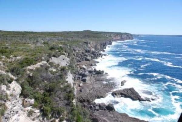 |
This item is licensed under a Creative Commons License

Updated: 17 November 2022/ Responsible Officer: University Librarian/ Page Contact: Library Systems & Web Coordinator
+61 2 6125 5111
The Australian National University, Canberra
CRICOS Provider : 00120C
ABN : 52 234 063 906


